
Rothhaus topographic map
Interactive map
Click on the map to display elevation.
About this map
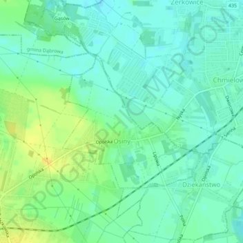
Name: Rothhaus topographic map, elevation, terrain.
Average elevation: 531 ft
Minimum elevation: 502 ft
Maximum elevation: 577 ft
Other topographic maps
Click on a map to view its topography, its elevation and its terrain.
Chrosczütz
Polen > Woiwodschaft Oppeln > Landkreis Oppeln
Chrosczütz, Gemeinde Groß Döbern, Landkreis Oppeln, Woiwodschaft Oppeln, 46-080, Polen
Average elevation: 489 ft