
Château des Boulayes topographic map
Interactive map
Click on the map to display elevation.
About this map
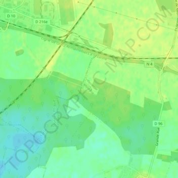
Name: Château des Boulayes topographic map, elevation, terrain.
Average elevation: 361 ft
Minimum elevation: 328 ft
Maximum elevation: 384 ft
Other topographic maps
Click on a map to view its topography, its elevation and its terrain.
Villé
France > Île-de-France > Tournan-en-Brie > Villé
Villé, Tournan-en-Brie, Torcy, Seine-et-Marne, Île-de-France, France métropolitaine, 77220, France
Average elevation: 361 ft