
Aït Laaziz topographic map
Interactive map
Click on the map to display elevation.
About this map
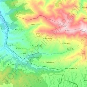
Name: Aït Laaziz topographic map, elevation, terrain.
Location: Aït Laaziz, Bouïra District, Bouira, Algeria (36.41764 3.83498 36.47149 3.93874)
Average elevation: 2,251 ft
Minimum elevation: 965 ft
Maximum elevation: 4,173 ft