
大纸坊 topographic map
Interactive map
Click on the map to display elevation.
About this map
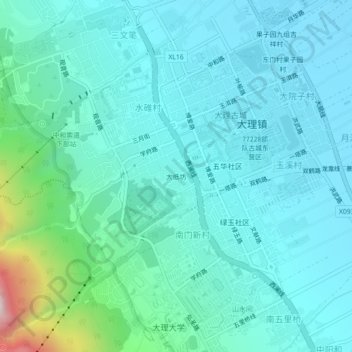
Name: 大纸坊 topographic map, elevation, terrain.
Location: 大纸坊, 大理镇, 大理市, 大理白族自治州, 云南省, 671003, 中国 (25.67127 100.13556 25.71127 100.17556)
Average elevation: 6,903 ft
Minimum elevation: 6,480 ft
Maximum elevation: 9,177 ft
Other topographic maps
Click on a map to view its topography, its elevation and its terrain.