
Obersdorf topographic map
Interactive map
Click on the map to display elevation.
About this map
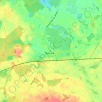
Name: Obersdorf topographic map, elevation, terrain.
Location: Obersdorf, Müncheberg, Märkisch-Oderland, Brandenburg, Germany (52.52107 14.13675 52.56128 14.21059)
Average elevation: 190 ft
Minimum elevation: 108 ft
Maximum elevation: 276 ft