
Athensleben topographic map
Interactive map
Click on the map to display elevation.
About this map
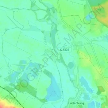
Name: Athensleben topographic map, elevation, terrain.
Average elevation: 226 ft
Minimum elevation: 190 ft
Maximum elevation: 344 ft
Other topographic maps
Click on a map to view its topography, its elevation and its terrain.
Neundorf (Anhalt)
Deutschland > Sachsen-Anhalt > Salzlandkreis > Staßfurt
Neundorf (Anhalt), Staßfurt, Salzlandkreis, Sachsen-Anhalt, Deutschland
Average elevation: 325 ft