
Medinah topographic map
Interactive map
Click on the map to display elevation.
About this map
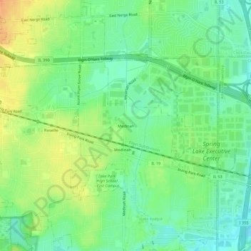
Name: Medinah topographic map, elevation, terrain.
Average elevation: 738 ft
Minimum elevation: 682 ft
Maximum elevation: 814 ft
Other topographic maps
Click on a map to view its topography, its elevation and its terrain.
Wheaton
États-Unis d'Amérique > Illinois > DuPage County
Wheaton, DuPage County, Illinois, 60187, États-Unis d'Amérique
Average elevation: 758 ft