
Royalton topographic map
Interactive map
Click on the map to display elevation.
About this map
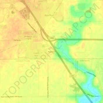
Name: Royalton topographic map, elevation, terrain.
Location: Royalton, Boone County, Indiana, États-Unis d'Amérique (39.90699 -86.35833 39.94699 -86.31833)
Average elevation: 912 ft
Minimum elevation: 837 ft
Maximum elevation: 938 ft