
Santa Ana topographic map
Interactive map
Click on the map to display elevation.
About this map
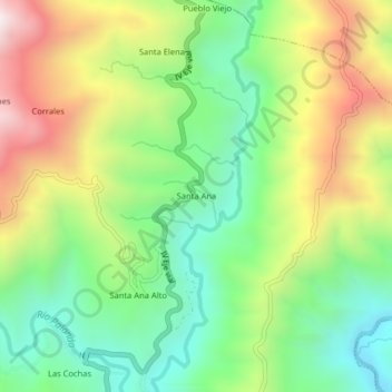
Name: Santa Ana topographic map, elevation, terrain.
Location: Santa Ana, Palanda, Zamora Chinchipe, Ecuador (-4.63542 -79.14607 -4.59542 -79.10607)
Average elevation: 4,341 ft
Minimum elevation: 3,071 ft
Maximum elevation: 6,250 ft