
Miomboni topographic map
Interactive map
Click on the map to display elevation.
About this map
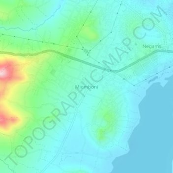
Name: Miomboni topographic map, elevation, terrain.
Location: Miomboni, Babati Municipal, Manyara, Northern Zone, Tanzania (-4.24287 35.70197 -4.20287 35.74197)
Average elevation: 4,577 ft
Minimum elevation: 4,413 ft
Maximum elevation: 5,282 ft