
Tsihombe topographic map
Interactive map
Click on the map to display elevation.
About this map
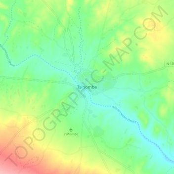
Name: Tsihombe topographic map, elevation, terrain.
Location: Tsihombe, Androy, Province de Toliara, 621, Madagaskar (-25.35855 45.44406 -25.27855 45.52406)
Average elevation: 269 ft
Minimum elevation: 135 ft
Maximum elevation: 518 ft