
Nevado Mismi topographic map
Interactive map
Click on the map to display elevation.
About this map
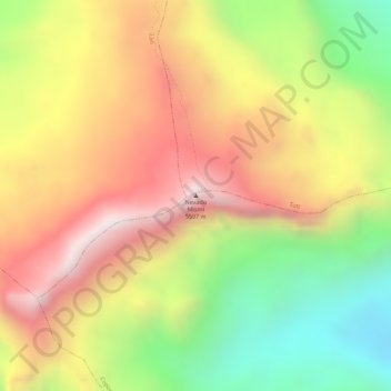
Name: Nevado Mismi topographic map, elevation, terrain.
Average elevation: 17,257 ft
Minimum elevation: 15,955 ft
Maximum elevation: 18,337 ft
The Upper Amazon expedition (The Flying Expedition) included an Eastern European multi-axled articulated Land Rover for use on land, a float plane Papagaiu, for air support and reconnaissance, and the Peruvian Air Force offered a high elevation helicopter to reach the upper levels of the Chila mountain range in Peru.