
Red Bay topographic map
Interactive map
Click on the map to display elevation.
About this map
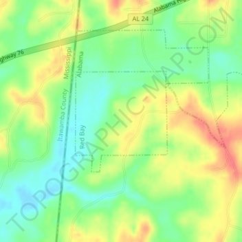
Name: Red Bay topographic map, elevation, terrain.
Location: Red Bay, Franklin County, Alabama, United States of America (34.40389 -88.16155 34.41511 -88.14911)
Average elevation: 541 ft
Minimum elevation: 456 ft
Maximum elevation: 643 ft