
Pata topographic map
Interactive map
Click on the map to display elevation.
About this map
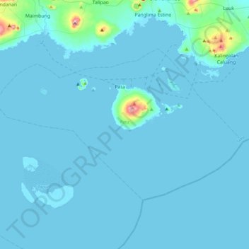
Name: Pata topographic map, elevation, terrain.
Location: Pata, Sulu, Bangsamoro, Philippines (5.67088 120.95006 5.90443 121.33532)
Average elevation: 56 ft
Minimum elevation: -7 ft
Maximum elevation: 1,421 ft