
Saint George topographic map
Interactive map
Click on the map to display elevation.
About this map
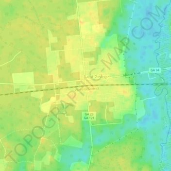
Name: Saint George topographic map, elevation, terrain.
Location: Saint George, Georgia, United States of America (30.50107 -82.05761 30.54107 -82.01761)
Average elevation: 69 ft
Minimum elevation: 20 ft
Maximum elevation: 105 ft