
Middelkerke topographic map
Interactive map
Click on the map to display elevation.
About this map
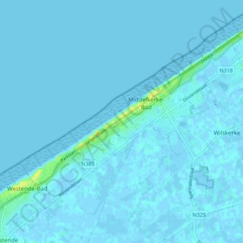
Name: Middelkerke topographic map, elevation, terrain.
Location: Middelkerke, West Flanders, Flanders, Belgium (51.16436 2.77398 51.20204 2.85176)
Average elevation: 3 ft
Minimum elevation: -13 ft
Maximum elevation: 66 ft