
Senkobo topographic map
Interactive map
Click on the map to display elevation.
About this map
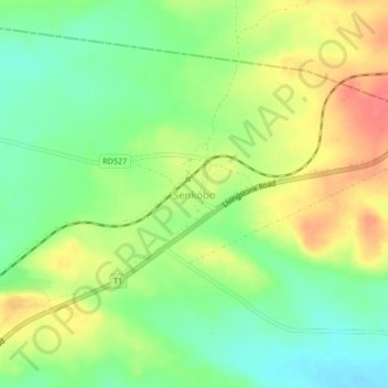
Name: Senkobo topographic map, elevation, terrain.
Location: Senkobo, Livingstone District, Southern Province, Zambia (-17.64655 25.92110 -17.60655 25.96110)
Average elevation: 3,619 ft
Minimum elevation: 3,524 ft
Maximum elevation: 3,737 ft