
Mullett Creek topographic map
Interactive map
Click on the map to display elevation.
About this map
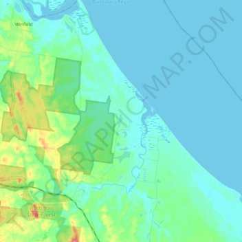
Name: Mullett Creek topographic map, elevation, terrain.
Location: Mullett Creek, Bundaberg Region, Queensland, Australia (-24.68214 152.02124 -24.51822 152.11474)
Average elevation: 46 ft
Minimum elevation: -16 ft
Maximum elevation: 272 ft