
Shir Qal'e (Lion Fort) topographic map
Interactive map
Click on the map to display elevation.
About this map
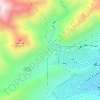
Name: Shir Qal'e (Lion Fort) topographic map, elevation, terrain.
Average elevation: 7,320 ft
Minimum elevation: 6,460 ft
Maximum elevation: 8,976 ft