
Bacelo e Senhora da Saúde topographic map
Interactive map
Click on the map to display elevation.
About this map
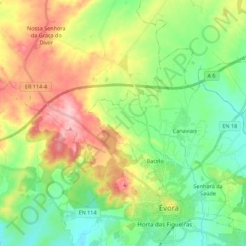
Name: Bacelo e Senhora da Saúde topographic map, elevation, terrain.
Average elevation: 938 ft
Minimum elevation: 748 ft
Maximum elevation: 1,253 ft