
Teplice topographic map
Interactive map
Click on the map to display elevation.
About this map
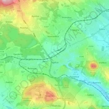
Name: Teplice topographic map, elevation, terrain.
Location: Teplice, okres Teplice, Ústecký kraj, Northwest, Czechia (50.61357 13.77198 50.67712 13.87549)
Average elevation: 860 ft
Minimum elevation: 597 ft
Maximum elevation: 1,450 ft