
Skejby topographic map
Interactive map
Click on the map to display elevation.
About this map
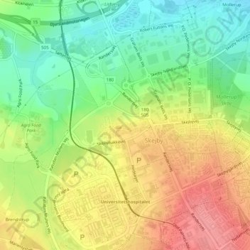
Name: Skejby topographic map, elevation, terrain.
Location: Skejby, Aarhus Municipality, Central Denmark Region, Denmark (56.19861 10.17061 56.20176 10.18130)
Average elevation: 144 ft
Minimum elevation: 10 ft
Maximum elevation: 289 ft