
Milford topographic map
Interactive map
Click on the map to display elevation.
About this map
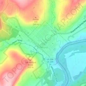
Name: Milford topographic map, elevation, terrain.
Location: Milford, Pike County, Pennsylvania, United States of America (41.31678 -74.81295 41.33061 -74.79205)
Average elevation: 600 ft
Minimum elevation: 358 ft
Maximum elevation: 968 ft