
Carupola topographic map
Interactive map
Click on the map to display elevation.
About this map
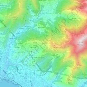
Name: Carupola topographic map, elevation, terrain.
Location: Carupola, Genova, Liguria, 16133, Italia (44.38831 8.99006 44.42831 9.03006)
Average elevation: 830 ft
Minimum elevation: 0 ft
Maximum elevation: 2,684 ft