
Abyaneh topographic map
Interactive map
Click on the map to display elevation.
About this map
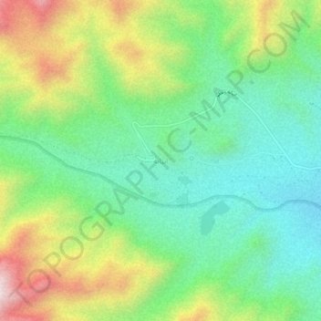
Name: Abyaneh topographic map, elevation, terrain.
Location: Abyaneh, بخش مرکزی, Natanz County, Isfahan Province, Iran (33.56651 51.57086 33.60651 51.61086)
Average elevation: 7,769 ft
Minimum elevation: 6,903 ft
Maximum elevation: 9,367 ft