
Bagnères-de-Luchon topographic map
Interactive map
Click on the map to display elevation.
About this map
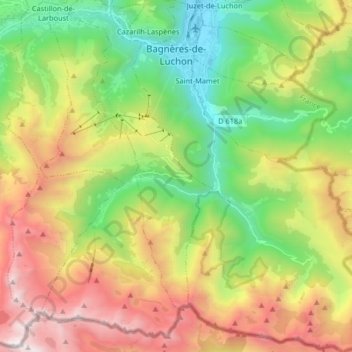
Name: Bagnères-de-Luchon topographic map, elevation, terrain.
Average elevation: 5,466 ft
Minimum elevation: 1,998 ft
Maximum elevation: 10,525 ft