
Josephine topographic map
Interactive map
Click on the map to display elevation.
About this map
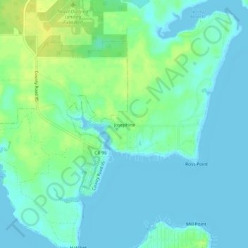
Name: Josephine topographic map, elevation, terrain.
Location: Josephine, Baldwin County, Alabama, United States of America (30.30659 -87.55109 30.34659 -87.51109)
Average elevation: 20 ft
Minimum elevation: -3 ft
Maximum elevation: 62 ft