
Dalbandin topographic map
Interactive map
Click on the map to display elevation.
About this map
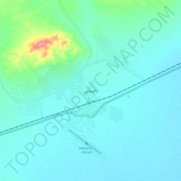
Name: Dalbandin topographic map, elevation, terrain.
Location: Dalbandin, Chagai District, Balochistan, 95100, Pakistan (28.85635 64.36971 28.93635 64.44971)
Average elevation: 2,825 ft
Minimum elevation: 2,759 ft
Maximum elevation: 3,228 ft