
Coris topographic map
Interactive map
Click on the map to display elevation.
About this map
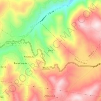
Name: Coris topographic map, elevation, terrain.
Location: Coris, Andahuaylas, Apurímac, Perú (-13.67442 -73.30651 -13.63442 -73.26651)
Average elevation: 11,660 ft
Minimum elevation: 10,774 ft
Maximum elevation: 12,320 ft