
Ledrosee topographic map
Interactive map
Click on the map to display elevation.
About this map
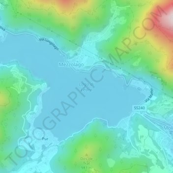
Name: Ledrosee topographic map, elevation, terrain.
Average elevation: 2,520 ft
Minimum elevation: 2,110 ft
Maximum elevation: 4,232 ft
Der Lago di Ledro liegt auf 655 m s.l.m. Höhe zwischen dem Gardasee und dem Idrosee am Ostende des Valle di Ledro. Der See hat eine Fläche von 2,187 km². Die tiefste Stelle liegt 47 m unter der Wasseroberfläche.