
Ravar topographic map
Interactive map
Click on the map to display elevation.
About this map
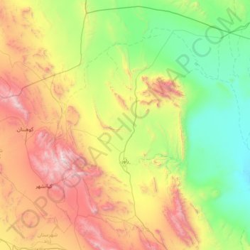
Name: Ravar topographic map, elevation, terrain.
Location: Ravar, بخش مرکزی, Ravar County, Kerman Province, Iran (30.89098 56.43011 31.96016 57.73955)
Average elevation: 4,357 ft
Minimum elevation: 1,312 ft
Maximum elevation: 11,526 ft