
Darabad topographic map
Interactive map
Click on the map to display elevation.
About this map
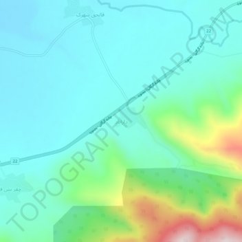
Name: Darabad topographic map, elevation, terrain.
Location: Darabad, بخش لوه, Galikash County, Golestan Province, Iran (37.31639 55.55417 37.35639 55.59417)
Average elevation: 994 ft
Minimum elevation: 623 ft
Maximum elevation: 2,339 ft