
Shari topographic map
Interactive map
Click on the map to display elevation.
About this map
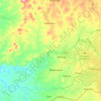
Name: Shari topographic map, elevation, terrain.
Location: Shari, Bunia, Ituri, RD Congo (1.53533 30.09282 1.60426 30.24006)
Average elevation: 3,914 ft
Minimum elevation: 3,333 ft
Maximum elevation: 4,892 ft