
Dittingen topographic map
Interactive map
Click on the map to display elevation.
About this map
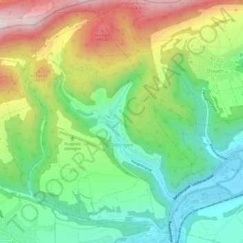
Name: Dittingen topographic map, elevation, terrain.
Location: Dittingen, Bezirk Laufen, Bâle-Campagne, 4243, Suisse (47.42574 7.46244 47.45748 7.51384)
Average elevation: 1,745 ft
Minimum elevation: 1,112 ft
Maximum elevation: 2,753 ft