
Tam Kỳ topographic map
Interactive map
Click on the map to display elevation.
About this map
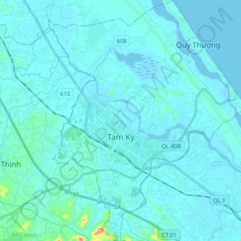
Name: Tam Kỳ topographic map, elevation, terrain.
Location: Tam Kỳ, Quang Nam Province, Vietnam (15.50743 108.44138 15.64467 108.55833)
Average elevation: 26 ft
Minimum elevation: -7 ft
Maximum elevation: 535 ft