
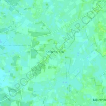
Okkenbroek topographic map
Interactive map
Click on the map to display elevation.
About this map
Name: Okkenbroek topographic map, elevation, terrain.
Location: Okkenbroek, Overijssel, Niederlande, 7435, Niederlande (52.27775 6.29954 52.31775 6.33954)
Average elevation: 33 ft
Minimum elevation: 23 ft
Maximum elevation: 46 ft