
Haupu topographic map
Interactive map
Click on the map to display elevation.
About this map
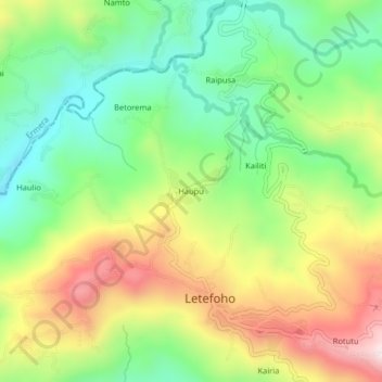
Name: Haupu topographic map, elevation, terrain.
Location: Haupu, Ermera, East Timor (-8.84273 125.40412 -8.80273 125.44412)
Average elevation: 4,252 ft
Minimum elevation: 3,510 ft
Maximum elevation: 5,308 ft