
Pedda Cheruvu topographic map
Interactive map
Click on the map to display elevation.
About this map
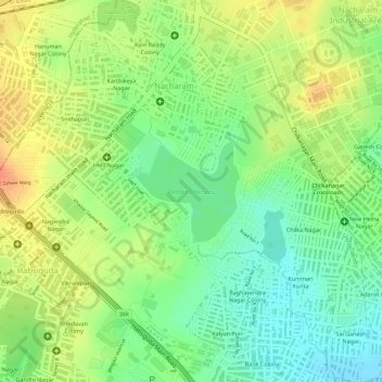
Name: Pedda Cheruvu topographic map, elevation, terrain.
Average elevation: 1,657 ft
Minimum elevation: 1,575 ft
Maximum elevation: 1,736 ft
Other topographic maps
Click on a map to view its topography, its elevation and its terrain.
Shilparamam, Uppal
India > Telangana > Uppal mandal > Hyderabad
Shilparamam, Uppal, Church Colony, Ward 10 Uppal, Greater Hyderabad Municipal Corporation East Zone, Hyderabad, Uppal mandal, Medchal–Malkajgiri, Telangana, 500039, India
Average elevation: 1,568 ft
Greater Hyderabad Municipal Corporation East Zone
India > Telangana > Uppal mandal > Hyderabad
Greater Hyderabad Municipal Corporation East Zone, Hyderabad, Uppal mandal, Medchal–Malkajgiri District, Telangana, India
Average elevation: 1,690 ft