
Wicken topographic map
Interactive map
Click on the map to display elevation.
About this map
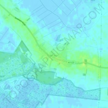
Name: Wicken topographic map, elevation, terrain.
Location: Wicken, Cambridgeshire, East of England, England, United Kingdom (52.30973 0.29184 52.31629 0.31003)
Average elevation: 10 ft
Minimum elevation: -13 ft
Maximum elevation: 39 ft