
Volkspark Prenzlauer Berg topographic map
Interactive map
Click on the map to display elevation.
About this map
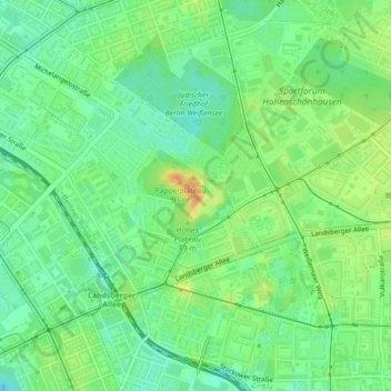
Name: Volkspark Prenzlauer Berg topographic map, elevation, terrain.
Average elevation: 180 ft
Minimum elevation: 131 ft
Maximum elevation: 243 ft
Other topographic maps
Click on a map to view its topography, its elevation and its terrain.
Blankenfelde
Deutschland > Berlin > Pankow
Blankenfelde, Pankow, Berlin, 13159, Deutschland
Average elevation: 164 ft