
Boma topographic map
Interactive map
Click on the map to display elevation.
About this map
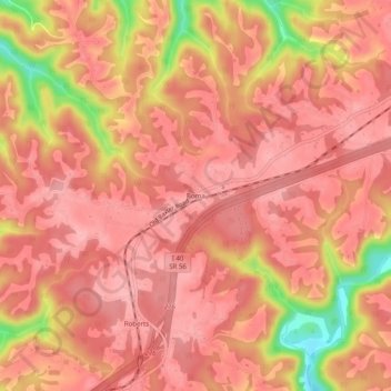
Name: Boma topographic map, elevation, terrain.
Location: Boma, Putnam County, Tennessee, 38544, United States (36.10701 -85.70248 36.14701 -85.66248)
Average elevation: 994 ft
Minimum elevation: 702 ft
Maximum elevation: 1,083 ft