
Hartl topographic map
Interactive map
Click on the map to display elevation.
About this map
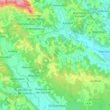
Name: Hartl topographic map, elevation, terrain.
Location: Hartl, Bezirk Hartberg-Fürstenfeld, Steiermark, Österreich (47.14883 15.82999 47.24254 15.97764)
Average elevation: 1,243 ft
Minimum elevation: 981 ft
Maximum elevation: 2,073 ft