
Piedecuesta topographic map
Interactive map
Click on the map to display elevation.
About this map
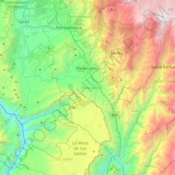
Name: Piedecuesta topographic map, elevation, terrain.
Location: Piedecuesta, Santander, 681011, Colombia (6.79003 -73.12598 7.11271 -72.90796)
Average elevation: 5,089 ft
Minimum elevation: 915 ft
Maximum elevation: 12,864 ft