
Bovenste Caumer topographic map
Interactive map
Click on the map to display elevation.
About this map
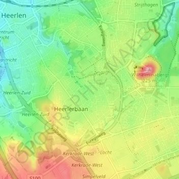
Name: Bovenste Caumer topographic map, elevation, terrain.
Location: Bovenste Caumer, Heerlen, Limburg, Nederland, 6418CR, Nederland (50.85110 5.98429 50.89110 6.02429)
Average elevation: 489 ft
Minimum elevation: 341 ft
Maximum elevation: 696 ft