
Boreda topographic map
Interactive map
Click on the map to display elevation.
About this map
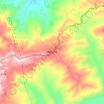
Name: Boreda topographic map, elevation, terrain.
Location: Boreda, East Harerghe, Oromia, Etiopía (9.29370 41.25014 9.37370 41.33014)
Average elevation: 7,057 ft
Minimum elevation: 5,666 ft
Maximum elevation: 8,455 ft