
Handis topographic map
Interactive map
Click on the map to display elevation.
About this map
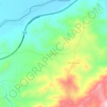
Name: Handis topographic map, elevation, terrain.
Location: Handis, Aït R'Zine, Daïra Ighil Ali, Béjaïa, 06013, Algérie (36.38057 4.49577 36.42057 4.53577)
Average elevation: 1,007 ft
Minimum elevation: 577 ft
Maximum elevation: 1,834 ft