
Ningthoukhong topographic map
Interactive map
Click on the map to display elevation.
About this map
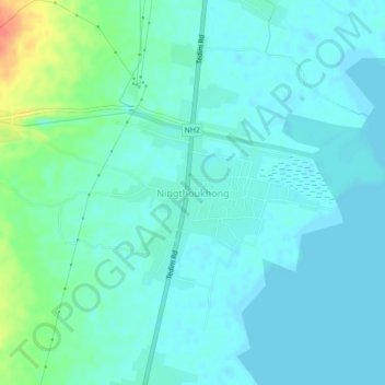
Name: Ningthoukhong topographic map, elevation, terrain.
Location: Ningthoukhong, Moirang, Bishnupur, Manipur, 795126, India (24.55179 93.74462 24.59179 93.78462)
Average elevation: 2,549 ft
Minimum elevation: 2,516 ft
Maximum elevation: 2,687 ft