
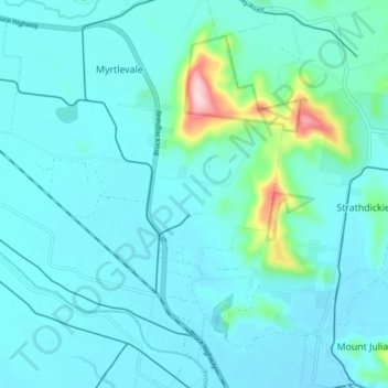
Mrytle Creek topographic map
Interactive map
Click on the map to display elevation.
About this map
Name: Mrytle Creek topographic map, elevation, terrain.
Average elevation: 144 ft
Minimum elevation: 30 ft
Maximum elevation: 932 ft
Other topographic maps
Click on a map to view its topography, its elevation and its terrain.
Proserpine
Australia > Queensland > Proserpine
Proserpine, Queensland, 4800, Australia
Average elevation: 43 ft