
Meigs Creek topographic map
Interactive map
Click on the map to display elevation.
About this map
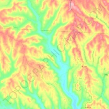
Name: Meigs Creek topographic map, elevation, terrain.
Location: Meigs Creek, Bristol, Morgan County, Ohio, United States (39.69676 -81.79227 39.78279 -81.74308)
Average elevation: 896 ft
Minimum elevation: 650 ft
Maximum elevation: 1,129 ft