
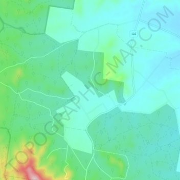
Mcintyre topographic map
Interactive map
Click on the map to display elevation.
About this map
Name: Mcintyre topographic map, elevation, terrain.
Location: Mcintyre, Shire of Loddon, Victoria, Australia (-36.71426 143.63524 -36.66411 143.71932)
Average elevation: 830 ft
Minimum elevation: 640 ft
Maximum elevation: 1,722 ft